19 December 2020

Rudland Rigg: Track record

Ever since I was much younger – about 50, say – I’ve wanted to cycle along Rudland Rigg. The unsealed, but decently-surfaced, old track runs ten miles north-north-west over the North York Moors. Drovers used it to shuttle cows and sheep to market, between Kirkbymoorside and Stokesley. I too had a lumbering and fattened-up beast to control: my trekking bike.

I got a morning train to Malton and cycled north from there. Malton is a great town for artisan food, but a rubbish town for bike parking (pic).

Gliding alongside the River Seven, a watercourse that sounds like a wrongly convicted group, I slid through a Christmassy Kirkbymoorside and took some back roads up to the start of the Rigg just north of Fadmoor.


Rudland Rigg looks straight on the map but snakes a bit (pic). Which reminded me: the area is rife with adders in summer, but this was a chilly winter day, so no need to have the air ambulance on speed dial.

The Rigg is one of Britain’s best-known motorable tracks for offroaders. They’re the enthusiasts who drive (a) 4x4 vehicles along ‘green lanes’ and (b) quite a few other people mad, because they’re not such green lanes afterwards.

The Rigg is pretty robust, though, and still in good MTB-able nick. There were fewer puddles than I expected, too, which was just as well: the sunny forecast bore little resemblance to the swirlingly cloudy, if dry, reality.


However, on this chilly morning, there was no-one to be seen, and I had the whole track to myself (pic). Social distancing was not a problem.

The very northern end of the Rigg is a steep and rocky hairpin descent down off the moortop, notorious among offroad drivers, who like to post YouTube videos of their attempts to manoeuvre down it. Rough, poorly-maintained, and very heavy going, the videos can be given a miss.


However, I didn’t quite go that far. I turned right off the Rigg at Bloworth Crossing, to take the old mining railway track that meanders along the contours east (pic) and south to Blakey Ridge. It’s flat, and almost all a decent surface of fine black gravel.

I walked this bit as part of the Coast to Coast in 2012, but on foot it’s a long, samey slog, whereas on a bike it’s just a breeze. Most of which was a headwind.

The Lion Inn is spectacularly situated at the top of the ridge (pic).

It was open, but the only way I’d get a pint would have been with a substantial meal, and it was a bit early for that. The meal, I mean.

Besides, I had a pork pie, provisioned from Thomas the Baker in Malton this morning...


From Rosedale Head there’s a spectacular single-track back lane that rushes joyously downhill to Fryup Dale (pic). I was heading here partly to investigate the Hub Cafe in the dale, a bike workshop and cycle cafe that must be one of the most gloriously-vistaed in the country, but mainly... ...I couldn’t resist having a fryup in Fryup (pic). This all-day breakfast is, of course, a Hub speciality. I didn’t go hungry after this lot. In fact I didn’t go anywhere for three-quarters an hour. I was too full.

Eventually I made my way in the winter dusk to Castleton, whose Co-op came up with a couple of beers to quicken my long, dark and tedious train journey home.

I’d have preferred a pint or two in a Moors pub, but after that mighty afternoon breakfast, I couldn’t have faced another substantial meal to enable a drink, however thirsty I was.

14 December 2020

Kilburn: Chalking up sights by the White Horse

Last week, amid cycle-route research round Swindon, I cycled round a few of Wiltshire’s White Horses – giant figures cut into the chalky hillsides (plus Uffington’s famous, and much older, example).


So today I cycled up to Yorkshire’s own White Horse, at Kilburn, on the southwest edge of the North York Moors about twenty miles north from my house. The quiet roads and farm tracks were dead flat up to the castle village of Crayke (pic), which put me in mind of a Tuscan hill village, except it was freezing cold with a brisk southerly.


A bit further on at Coxwold, as the landscape started to get a bit rolling, I stopped off at Shandy Hall (pic). This was the home of Laurence Sterne, who wrote Tristram Shandy here in the mid-1700s. It’s a book I found impossible to put down. And I tried everything: drowning it, smothering it, poison...


Approaching Kilburn, the horse began to loom. It was built in 1857 on the initiative of a local businessman inspired by Wiltshire’s chalky nags. It’s 314 feet long and 228 feet high, and twenty people can stand in the little grass circle that marks the eye, though that doesn’t sound very wise in these socially distanced times.

Kilburn is also world-famous in Yorkshire as the home of 1930s furniture craftsperson Robert Thompson, whose schtick was to include a small carved mouse figure on his works. Similar luxury murine pieces are produced in the workshop there now – two-grand chairs and twelve-grand refectory dining tables, that sort of thing – though I didn’t have time to pop into the visitor centre.

You can get closer to the horse, but there are two problems. First, the closer you get, the less it looks like a horse, and the more like a vast smear of glaucous gravel. Second, you have to cycle 520 feet up over a mile of 1 in 4, which doesn’t sound any friendlier as 160m over 1.5km of 25%.


Still, I managed to clamber my way up the switchbacks to the top of the ridge, and enjoyed the fine view back south from the top (pic). I spotted the magnificent, unmistakable towers of York Minster, but then realised they were the cooling towers of Ferrybridge Power Station.


A short ride away, on the top of Sutton Bank, is this sign (pic) for the ’Finest View in England’...


...at least, as it was in the judgement of James Herriot, whose vet novels are based on his experiences in Thirsk just down the hill. I don’t disagree with him – it’s sweeping and grand (pic) – though if you spend your working life looking up the backsides of cows, you’ll be well disposed to any banktop panorama.


From here you get a good view down over Gormire (pic), Yorkshire’s fourth-largest natural lake. (The first three are Malham Tarn, Hornsea Mere and Semerwater.)

I fancied walking round it, so I rode down a bridleway to the footpath that loops round its shores. I left my bike – I didn’t need to lean it against anything, it just stood up by itself in the deep mud – and walked to the water’s edge. It’s apparently one of the best-rated places for wild swimming in England, peaceful and lush in summer, though on this wintry day it was as gloomy and uninviting as its name suggests. Gormire is also Yorkshire’s leechiest lake of any sort, so skinny dippers beware.


Hurtling down the 1 in 4 / 25% gradient that defines the A170 as it scrambles its way up Sutton Bank, I saw another of the area’s best-known phenomena. An HGV transporting cars had disastrously overestimated his engine’s ability to cope with the hill, and had stopped a short distance up it. Unable to turn round, he had to reverse down on the other side of the road (pic) to concoct his satnav-blaming excuse back in a lay-by on the flat.


The last sight on this eventful trip was the village of Sutton-under-Whitestonecliffe, a mile or two away. Write it with hyphens (as the signs clearly don’t) and it becomes the longest single place name in England, longer than Cottonhopeburnsfoot in Northumberland, though not obviously as long as Llanfairpwllgwyngyllgogerychwyrndrobwllllantysiliogogogoch.

Well, not quite the last sight of the day. Or the best. That was the cream doughnut that I had from Thomas the Baker’s in Thirsk, awaiting my train home.

08 September 2020

Eboracum: All roads lead to Roman York

York’s a Viking City: indeed, it’s twinned, uniquely, with itself. With its past incarnation, Jorvik, the place thus rebranded by those non-horned-helmet-wearing Danes in 866.

But York is also a Roman City, and today I was cycling in search of its Latin past. The Romans set it up as a garrison town in 71, utilising the location of a defendable ridgetop (the river was a few metres lower then), the proximity of rich and fertile level farmland, and the handy river access via the Ouse to the Humber, North Sea, and rest of the world – not that you think there’s much need for that, if you’re from Yorkshire.

Over the next three centuries, Eboracum (as they called it, and as I call it for the purposes of indexing this post) grew into a thriving imperial town and admininstrative centre, before the empire – and the city – collapsed. But there are many reminders of the era, celebrated in many a walking tour of the centre.

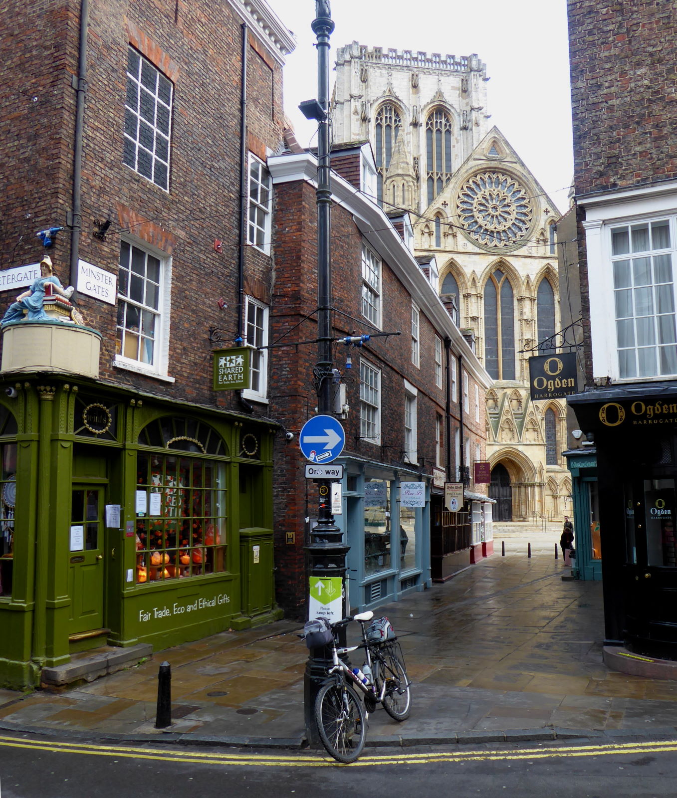
The centre of Roman York was right here, at the junction of Stonegate and Petergate (pic); the site of their equivalent of the city hall is now occupied by a religious building.


There are several relics of the period – often, in a way characteristic of York, in an almost throwaway manner: history, yeah, we’ve got loads of that. The remains of the old bath-house are in the cellar of the Bath House pub in the centre; the Multangular Tower, a chunky part of the original fortress, is a backdrop for picnickers in the riverside museum gardens; and part of the old city wall is in a council staff car park (pic), opposite the Theatre Royal.


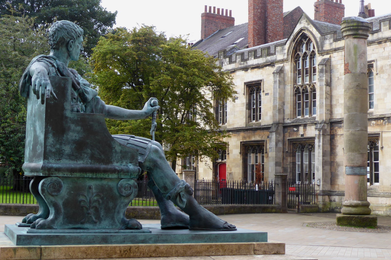
That ‘religious building’ is the Minster, of course. Minster Yard now sports a statue of Constantine (pic), who happened to be here in 306 when he succeeded his father to become emperor. The current Tory government may be known for their U-turns, but Constantine effected a spectacular one of his own: Christianity went from being illegal to being made, under his watch, the state religion.

That column in the background was found in pieces under the Minster during works, and reassembled as a monument to York’s founders. Unfortunately it was installed upside down.

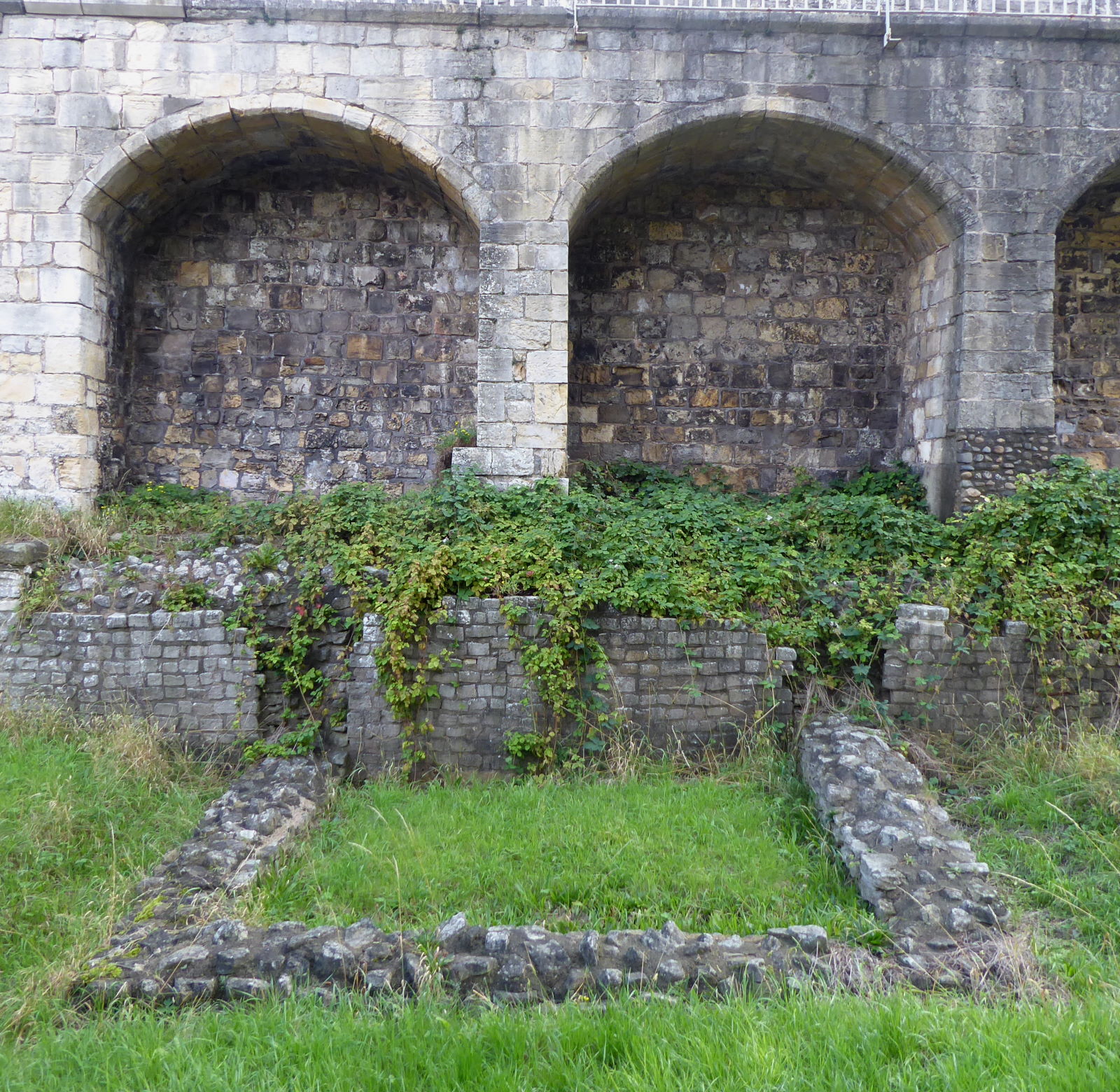
My last look at bits of third-century masonry was off Aldwark (pic). The square visible at ground level is the ancient foundations of a Roman Wall watchtower.

From here I biked out along the old Roman Road to Bridlington. The seaside town was a big deal to them, not for bracing swims or ice-cream, but for its harbour and significance as a shipping hazard (they put a lighthouse there, but nobody knows exactly where).

Hence the need for a transport artery to the town, which then left York’s walls on what is now Monkgate, over the Foss to Heworth Green.

That road to Bridlington is known to historians as Roman Road 810. According to local researcher Mike Haken, while there’s no evidence of the exact course of the road, everyone agrees there must have been one.


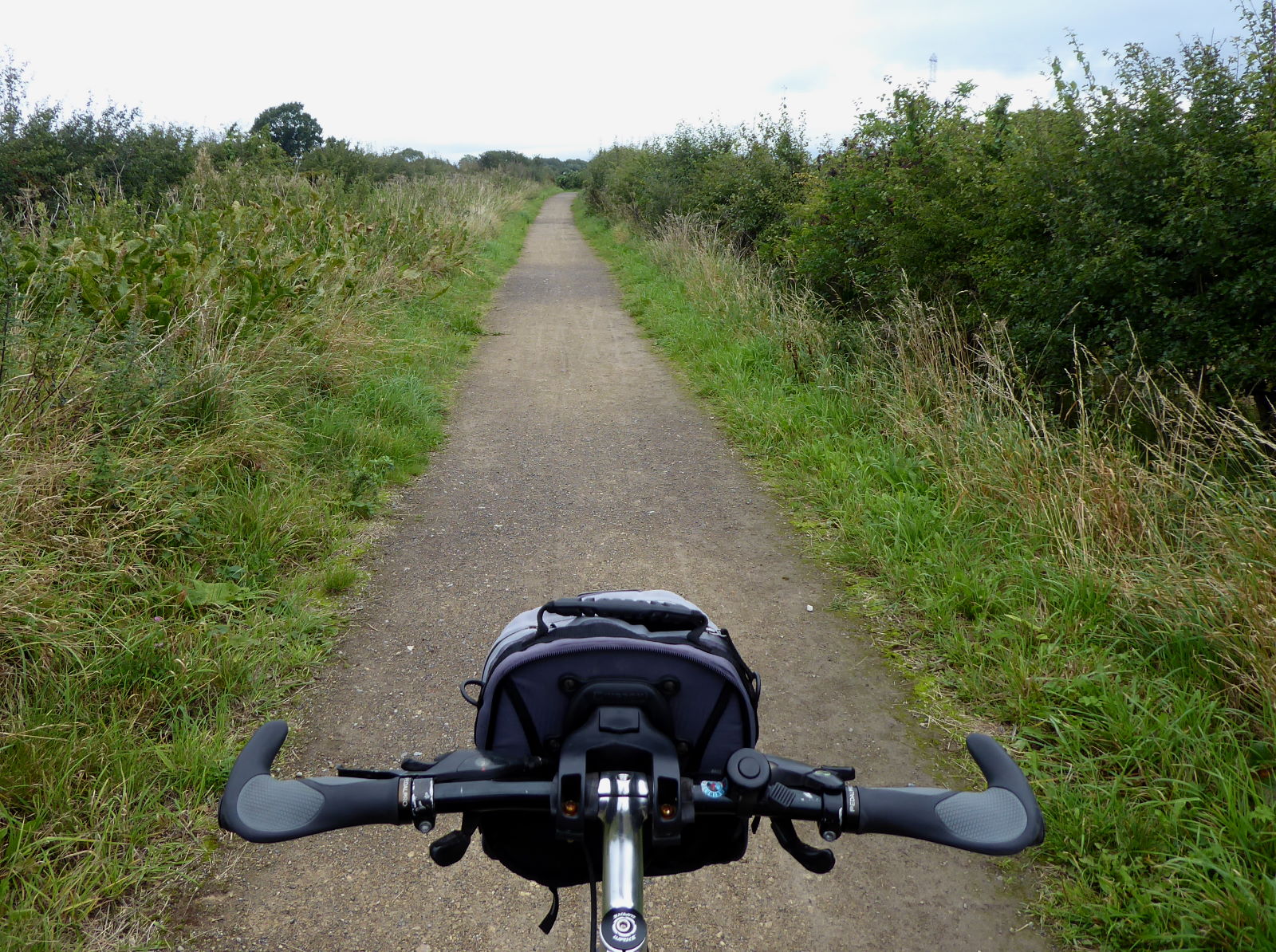
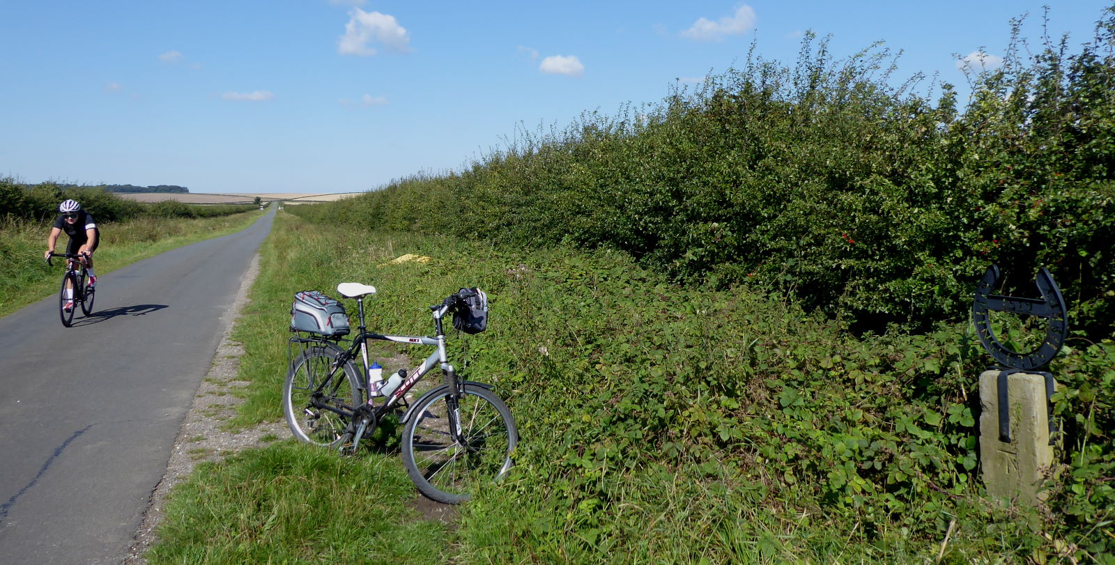
After Heworth we don’t know quite which direction it headed, but at some point it must have slanted across today’s bridleway called Bad Bargain Lane (pic), which I cycled along for the nearest-feeling thing we’ll get to the old road out of town.

The ‘Roman Road’ markings on Ordnance Survey maps, Haken reckons, aren’t entirely to be trusted. They suggest that RR810 exactly followed today’s definitely non-rectilinear A166 to Stamford Bridge and beyond, but he thinks the actual course of the road was more probably nearer Full Sutton and Youlthorpe to the south.


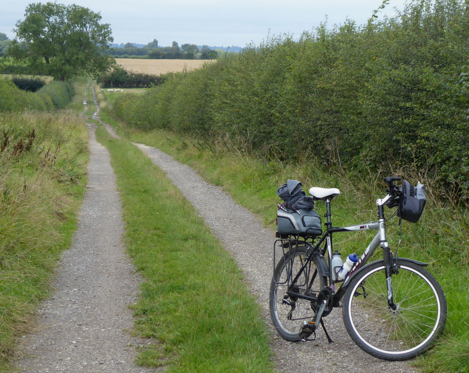
Could it have been this bridleway, just north of Youlthorpe (pic)? Maybe. It looks straight enough, doesn’t it? But then again...


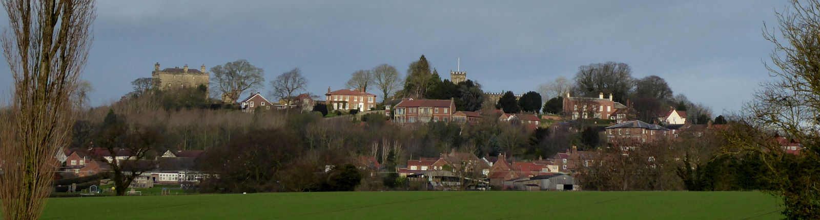
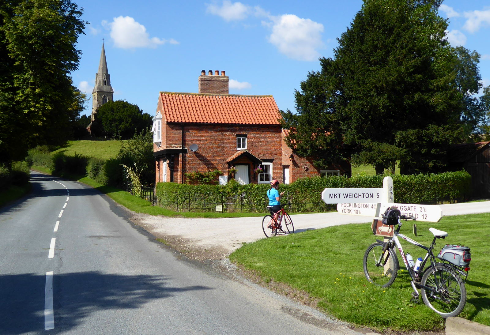
...there are lots of straight-enough, Roman-ish lanes splintered around the map. Like this one, heading for Bishop Wilton (pic). The problem is, none of them join up sensibly. The more immediate problem for me, albeit a pleasant one, was cycling up that hill beyond and out of the village: Worsendale Road, it’s called, but I’ve ridden plenty of worse dales than this.

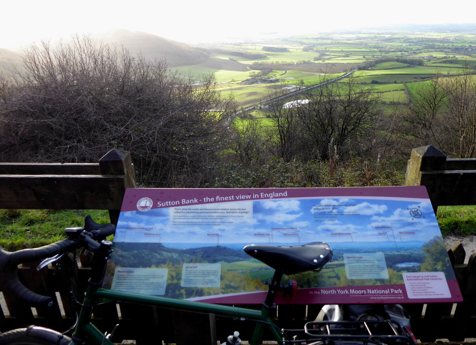
That climb took me to the top of the Wolds, with splendid views back down to the ironing-board flatness of the Vale of York from where I’d come.

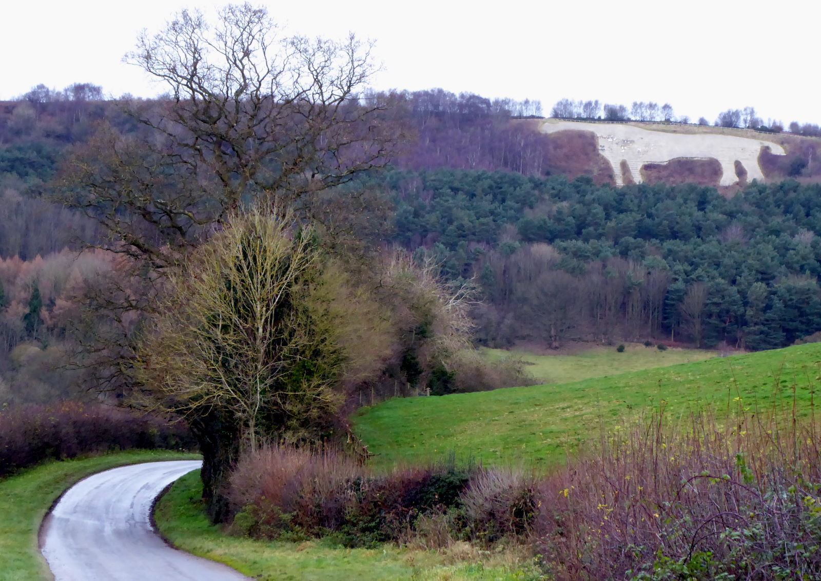
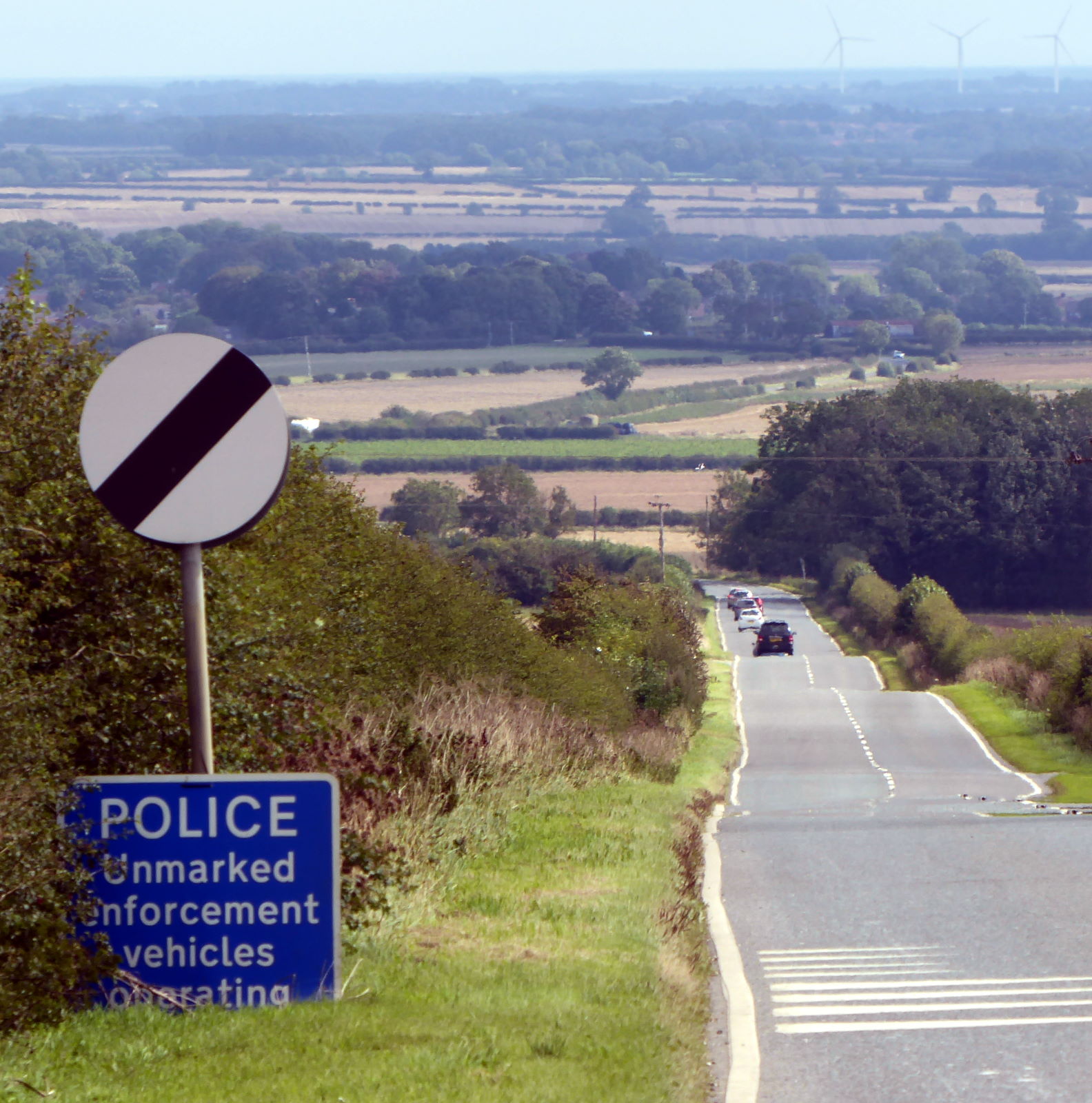
The gentle descent down the A166 down the other side (pic) was delightful, with little traffic and a wide road whose straightness does suggest Roman use.

From somewhere round about Fridaythorpe, the course of RR810 becomes clear, arrowing pretty directly to Brid over the hills. Now it’s mostly bridleways for several miles as far as Kilham, and this was the best and the worst bit of the ride.

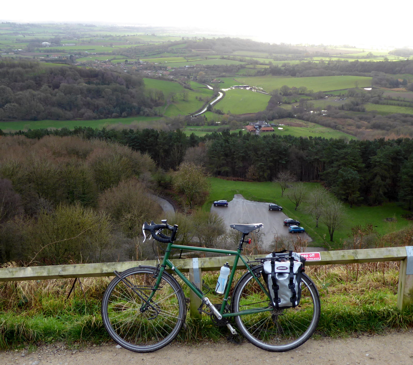
Best, because it was rugged and authentic and away from traffic. Worst, because it’s often muddy and rutted, churned up by tractors and motorcyclists. On the long ascent up to the monument-cum-folly commemorating decent old toff Sir Tatton Sykes (pic) I did a lot of pushing.

And eating. Because today, in accord with my Roman theme, I ate only food that the Romans would have recognised. It proved less restrictive than I expected: no New-World or Age-of-Exploration stuff like tomatoes, aubergines, peppers, courgettes, chilli, potato or avocado, of course; but plenty else.

Indeed, the Romans introduced a huge amount of foodstuff to Britain that we take for granted today. Cabbages, onions, leeks, shallots, cucumbers, marrows, asparagus, parsnips, turnips, radishes, celery, lettuce; plums, cherries; also, apparently, rabbits and nettles.

So, for breakfast I’d had the reasonably authentic porridge (they’d have had wheat rather than oats, though) with figs, dates, eggs and cheese.

I did have white bread too, though I didn’t dip it in wine like they’d have done; I had 50 miles to cycle.

And for lunch, as I plodded up to Sir Tat’s rocket-like memorial and then clattered down the chalk track on the other side (pic), I enjoyed decent cyclist’s picnic fare that was authentically Latin: bread, fish, slices of pork, interesting salad, grapes and pears.

I washed it down with water, rather than wine – even if I’d had it watered-down, as they would have had it, that might not have been the cleverest drink in the middle of a bike ride involving some tricky offroad descents.

The final few miles to Bridlington was joy: the straight, and clearly Roman, road, now tarmacked and called Woldgate, smooth and virtually car-free (pic) and, thanks to a tailwind, fast and easy.

I waited for my train home in a Wetherspoon and grappled with my final authenticity challenge. Wine or beer?

Both existed in the Roman world, but beer – apparently cerevisia, which explained the origin of one of my favourite Spanish words – was the drink of barbarians, of the grubby unsophisticated, of tattooed native Brits.

So, the decision made itself. I had two pints of IPA.

Back home, dinner was sadly not very Roman. I had a look in Aldi, even Waitrose, but I couldn’t find giraffe steaks, flamingo breast, chaffinch or dormice. Next time I’ll try Booth’s.

Rudston: Village of standing

One day I’ll write a book about how you don’t need to visit the rest of the world to see the sights. We’ve got our own, better, more convenient versions here.

Iguazu? Forget it – we’ve got Aysgarth Falls!

Uluru? Waste of money – visit Cronkley Scar and tramp freely to the top.

Eiffel Tower? Overrated tourist trap – for genuinely impressive towers you want Emley Moor’s epic mast.

‘Rest of the world’ means ‘outside Yorkshire’, of course. So why bother heading out to southern England to see Stonehenge when you can hop to Boroughbridge to see the Devil’s Arrows?

Anyway, today I added yet another world-beating sight to Yorkshire’s impressive list of cyclable wonders, that rivals those Arrows as a Stonehenge alternative. The Rudston Monolith is a mighty standing stone, Britain’s biggest such in fact, in a churchyard in the village of that name just outside Bridlington. I swung by the monument while cycling from York to Brid along the old Roman Road (and eating only Roman-era food), which I detail in a separate post.


The 7.6m (26 foot) slab was set up around 4000 years ago by neolithic locals. At first glance, you might think the stone – towering over the graves – marks the resting place of a particularly competitive architect of London tower blocks.

What is it? Why is it there? The nearest source for this sort of stone is ten miles away. Maybe those neolithics carted it here, or perhaps it had already been delivered by a glacier.

Some astronomical significance? Maybe. Fertility symbol? Dunno. Stone-age folly? Search me. In short, nobody knows.

The stone is a riddle, wrapped in a conundrum, parcelled up inside an enigma. The mysterious mystery of the monolithic monolith.

Whatever the monolith was, it was clearly a major project: there’s as much of the stone underground as there is above, one 18th-century digger reckoned.

The markings on one side used to be thought to be dinosaur footprints, but sadly recent research suggests not.

Apart from the stone there’s not a lot to Rudston, though in Roman times there was a villa nearby. Its floor mosaics were unearthed during farming work in 1933; they’re now in Hull museum, but they're a bit rubbish. There’s no trace left of the villa now.

The local boozer, the Bosville Arms, almost disappeared without trace too. It recently closed and was about to ‘be redeveloped’, ie lost forever.

However, happy to report, the village saved it, bought it, and are setting it up as a community pub – and they’re looking for someone to run it. Though you’ll have to make a better effort than the ham-fisted bodger who did the mosaics.

Which local brewer will be quickest off the mark to make a Rudston Monolith beer...?

01 September 2020

Kiplingcotes: World’s oldest horse race, of course

Yorkshire is proud of its ancient traditions. Someone has blown a horn every night for 800 years in Ripon, for instance. The neighbours must be fed up of it by now.

And we can boast England’s – maybe, pace Siena, even the world’s? – oldest horse race (pic). Every third Thursday in March since 1519, local riders have galloped it out at the Kiplingcotes derby, over a makeshift course in the Wolds just outside Market Weighton.

Riding the ‘course’ on any other day of the year makes for a fine half-day ride: scenic, tranquil, gently sloping, tranquil.

Making it easier now are the brand-new East Yorkshire buses on the X46 service, shuttling hourly between York and Hull via Market Weighton (pic).

Because – very unusually for British buses – it welcomes bikes. The modern fleet on this route boasts all the things 21st-century travellers expect: wifi; USB and wireless recharging points; coffee holders; tables (pic)...

...and free space for two bikes (pic). (No toilets, alas, which is an issue if you have a bladder like mine the size of a teaspoon. So I’d advise skipping the morning Americano.)

Taking your bike to Beverley (or even Bridlington, on the similarly well-endowed 45 service) is now possible, though the length of those journeys makes the train a viable alternative, especially to coffee lovers.

But for me, and probably for you too, the great new opportunity afforded by the X46s is routes involving Pocklington and Market Weighton. They’re both gateway towns to the lovely Wolds (pic) – but riding between York and either of them involves some rather so-so flat cycling. The bus avoids all that.

So, today, I enjoyed a fabulous 20-ish mile ride on a sunny day from Market Weighton to Pocklington via the Kiplingcotes ‘racecourse’, as well as the village of Warter, and the breathtakingly beautiful dry-valley road to Millington.

On a dry, gorgeous early-autumn day like today, it was a delightful, quiet little adventure.

I decanted myself from the bus in Market Weighton and paused to admire the life-size statue of William Bradley (pic), Britain’s tallest man ever at 7'9", or 2.36m.

By my calculations he’d have required a 36-inch frame, if bikes had been around in 1810.

Just outside Market Weighton is St Helen’s Well (pic). The immediate area was one of the first footholds of Christianity in England in the early 300s, and this is one of many sites connected with that. Helen (c248–329) was the mother of Constantine, who was proclaimed Roman Emperor in York in 306; she was Greek and never visited Britain, let alone Wolds market towns. I didn't make a wish because I had no coins to throw into the well, and there was no way of paying contactless, so no new bike for me yet awhile.

So to the races. The single quotes around Kiplingcotes’ ‘course’ tell you not to expect Aintree. Aintree it ain’t. It ain’t even Ree.

The grand start, for instance, is on a country lane in the middle of nowhere. There’s no village or hamlet called Kiplingcotes – only this station (pic), once a landowner’s personal halt on a long-defunct rural railway line needlessly axed by the crazed arch-villain, the evil Doktor Beeching.

This is the start. Horses and riders gather at this modest stone (pic), marked on Ordnance Survey maps since 1873 as ‘Post’...

...and hurtle north-west on the grass verge alongside a road so straight it looks Roman, but isn’t (pic).

As they near the finish, those hardy jockeys and steeds have to contend with a muddy country farmtrack (pic).

This was how it looked on a sunny late-summer day; they do it in late March after a winter’s worth of drizzle.

The finish line is as modest as the start (pic). By one of those British quirks, the second-placed rider often takes away more prize money than the winner.

Legend states that if the race is not run, it can never be again. So it always is run, though in difficult years (1947, snowdrifts; 2001, Foot and Mouth; 2018, waterlogged course; 2020, global pandemic) it isn’t contested – a local rider will complete the course, walking the horse if necessary, to prevent the race, and therefore the world, ending.

I carried on, too, to Pocklington, and my bus back to York. Along delightful hill-hopping lanes to the village of Warter (pic), which had some temporary ponds, one of them presumably called Warter Water.

And then, along a (genuine) Roman Road to the fabulous little road down past Millington Wood (pic), one of the Wolds’ most delightful lanes. This – along with Water Lane down to Thixendale, a few miles north – is one of the area’s showcase rides, freewheeling gently down that characteristic Wolds phenomenon, the Dry Valley.

It’s all chalk round here, so rivers never get going: rainwater percolates down into the rocks before it can form streams. The valleys were carved out not by water, but by ice, thanks to ancient glaciers. So you have these double-take gorges that, given the absence of any water, intuition wrongly tells you must be old railway cuttings (pic).

So the trip was dry in every sense. No pubs were open this afternoon, so I had to wait till I got back to York for refreshment.

Though, given what might have happened on the way home on a toilet-free bus between Pocklington and York after a pint of IPA, perhaps that was just as well...

11 August 2020

Ure 3: York to Faxfleet

Day 3 of the River Ure ride was the climax of the whole project, finishing at the point where all the rivers become the Humber Estuary. It featured a dog weeing on a bike, a 1980s Iron Curtain border, fish and chips, the Ouse Riviera – and it was a scorcher. (Back to ← Day 2)


After a couple of days of admin at home, I carried on from where I left off with Tim on Saturday, though the morning riverside terrace of the King’s Arms (pic) was now devoid of boisterous, tattooed lager drinkers.


The Ouse (as the Ure is called here) is a delight to ride along, thanks to official and unofficial cycle paths by its side. It was too early in the day here for the ice-cream boat, which is usually on the river by the sign here. Just as well: on a sunny day like today, I might have got myself a Lemon Curd 99, and then not much further.

I carried on down the riverside paths to Fulford and then past the sewage works – yes, you could tell it was a hot day – to the old railway bridge which crosses the Ouse at Naburn.

It’s the old East Coast Main Line: not a Beeching casualty, but closed in the 1980s because of mining subsidence.

The wire sculpture, called Fisher of Dreams, shows a man catching a train (geddit?) while a dog shows its opinion of the cycle parking facilities.


A bit further down is Naburn Locks (pic), which today had some kayakers and daytrippers enjoying the cafe, and below which the Ouse gets all tidal. Below this point you may sometimes see a bore. [Insert your own joke here].


The 19th-century swing bridge across the Ouse at Cawood puts me in mind of a pre-1989 Eastern European border crossing. Luckily my papers were in order.

I had fish and chips for lunch in Selby. Add that to the heat and the stiff headwind, and it’s no wonder I got through five litres of water.

From Selby, the Trans Pennine Trail runs mostly along the banks of the Ouse. The river is pretty scruffy here, and the backdrop of Drax Power Station makes it unlikely to feature in a ‘Yorkshire Seasons’ calendar.

The path surface is pretty ropey, too: it was just bumpy today, but usually it’s muddy too. Thanks to the heatwave, the cow poo covering the track had dried into dung cakes that could power a household for a year, relieving the pressure on Drax. It did seem an appropriate comment on the National Cycle Network though: some routes are just full of... yes, exactly: good ideas badly implemented.


Boothferry Bridge was the furthest downriver road crossing of the Ouse until the M62 arrived to vault over it (pic). For cyclists it still is your last chance to choose sides before Goole. Choose carefully: once west, your next opportunity is sixty miles round at the Humber Bridge.


And so to the final stretch of the Ouse, all mudflats and nature reserves and Larkin’s ‘level drifting breadth’. Saltmarshe offered a short but pleasant levee ride (pic). And yes, it’s salty round here. And marshy.


The Ouse Riviera was a place for sunseekers today (pic). Somewhere in the distance, looking east, the Trent looms from the south/right to scuffle with the Ouse and form the murky, silty, gloomy Humber.


This, the waterfront of the Hope and Anchor at Blacktoft, is about as far as the Ouse goes, though the exact triple point of Ouse/ Trent/ Humber is hard to specify: it’s somewhere by Faxfleet, the next village along. The pub was closed today, so for my celebration pint I had to carry on to my mum’s in Ferriby.

Here is where all the rivers I’ve ridden along in the last year and three-quarters end up. Swale, Ure, Nidd, Wharfe, Aire, Calder, Don, Derwent: they cover almost all of the historic county, and seeing them each from source to mouth has been a fabulous set of cycle rides.

I’ve seen Dales, Pennines and Moors; pretty villages and ugly post-industrial towns. I’ve ridden trekkers, folders, tourers and town bikes. I’ve met so many people, but fortunately managed to get away before they could engage me in conversation.

It’s been a great way to explore my home county.

What next? I’m curious to see what I come up with.

Miles today: 55
Miles from Garsdale to Faxfleet: 121

Back to ← Day 2