29 July 2017

Hessay: Journey to the Centre of the Earth

We all know Yorkshire is the centre of the world, but where's the centre of Yorkshire? In other words, if the historic county was made of plywood instead of rocks, where would you be able to balance it on the point of a pencil stronger than the one in my WH Smith Pocket Diary?

There have been various claims. The village of Barkston Ash, between Selby and Leeds, has an ash tree said to mark the ceremonial centre of the county. If you spit at it, legend has it, you will die a year and a day later. The same used to apply to the locals in the pub near my house, though with less of a wait. (It closed and is now a Heron Foods, thank goodness.)

Other claims have been made by the village of Moor Monkton, northwest of York, whose church was sometimes said to be the centre; while an Ordnance Survey press release a decade ago marked the village of Cattal, outside Harrogate, as the middle point.

More recent work by the OS, however, has decided on the village of Hessay, just west of York, as the geographic origin of all things Yorkshire. My friends Si and Sue were staying for the weekend, so a visit there to find the central point seemed a good excuse for a bike ride.


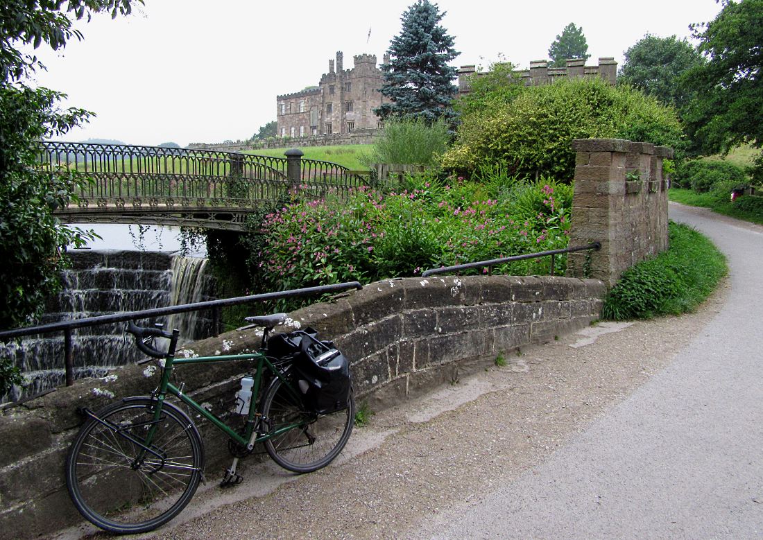
We set out on the Sustrans route up the Ouse. Beningborough Hall is a popular stop for Sunday cyclists (pic). For just £2 you can get an excellent bacon butty, so long as you can find someone to lend you another £4. It's not a place for a cheap date.


The only crossing point of the Ouse between York and Boroughbridge is Aldwark Toll Bridge (pic). The delightfully clanky old wooden thing was built in 1772, which seems the last time it was serviced. Cars cost 40p but bikes are free. It saves a 25-mile round trip and was once hit by an iceberg, so goodness knows how easy it is for them to insure it now.

We dropped in to the pleasant village green of Nun Monkton, so called because it used to have some nuns and, er, a ton of monks.

It boasts the tallest maypole in the UK (pic), at 88 feet high, and its extent skywards has caused concern to local RAF pilots.

In a place where bridges get clobbered by glaciers, anything could happen.


We'd hoped to get a pint in the 'pub at the centre of Yorkshire', the Victoria at Cattal. Unfortunately it didn't open this Saturday lunchtime, so there was no chance to test anyone's balance at the supposed ultimate balancing point.


Down the road in Tockwith we did catch a pint, though, and spotted this small monument (pic) commemorating seven airmen who died when a Stirling Bomber crashed here in 1945. Hopefully they weren't avoiding a giant maypole.

More monuments further up the road at Marston Moor (pic), where Oliver Cromwell's pro-Hessay troops routed Prince Rupert's pro-Cattal forces in 1644 in a civil war battle over the location of Yorkshire's centre.


So we headed on to Hessay, the village at the centre of all things. The exact centroid is, as far as my research shows, on private farmland behind 8 Shilbutts Lane (pic).


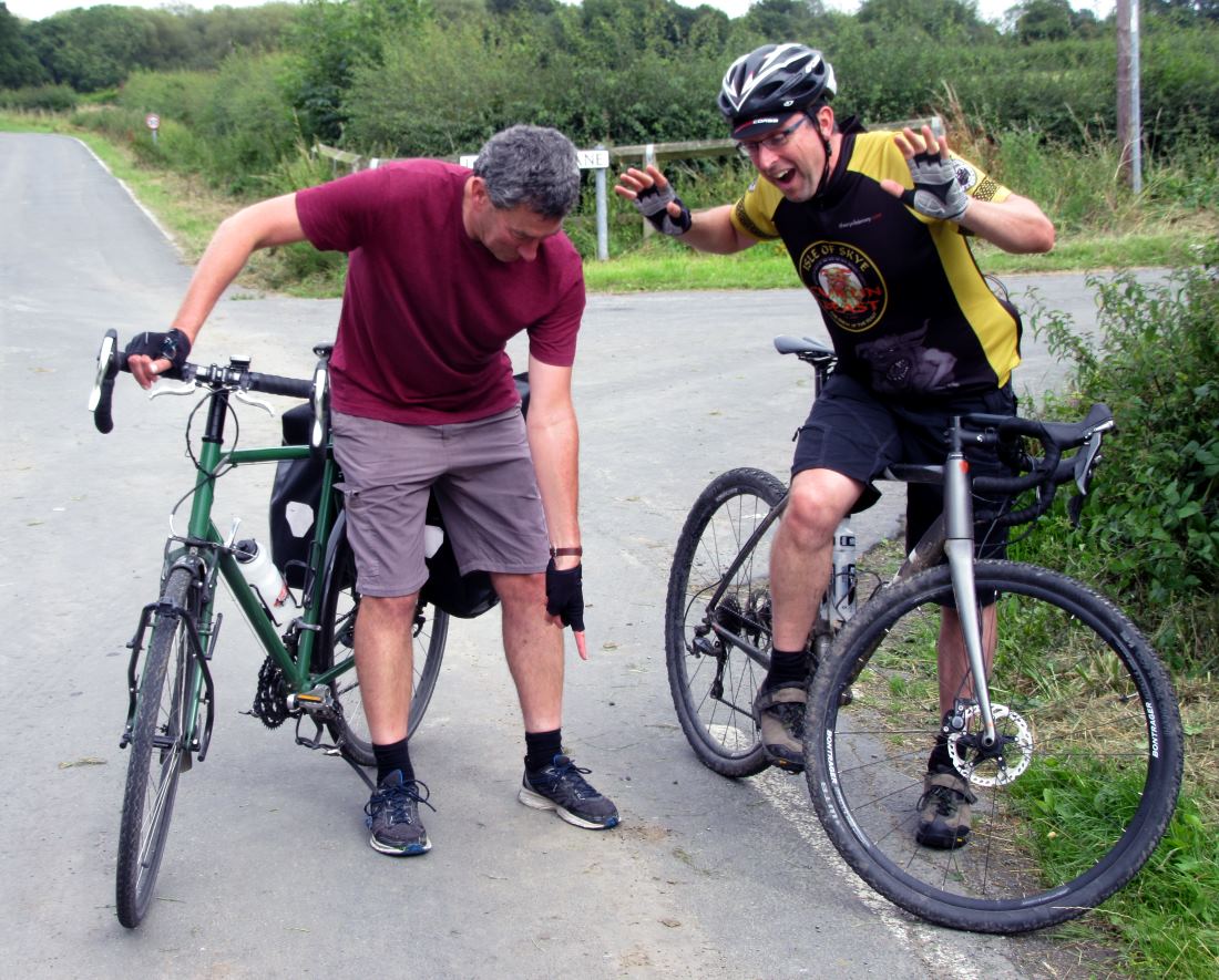
Sadly, Hessay has no pub, cafe, shop or even post office to cash in on its geographic fame. Nowhere to spend money, not even on a stamp. Anyway, with the actual spot being underneath a cowpat in an inaccessible field, we decided to appoint instead this exact place (pic) as the Centre of Yorkshire, and therefore the Centre of the Earth. Yes indeed: the world revolves around this point.

27 July 2017

W3: Slaidburn to Dunsop Bridge

Day 3 of the seventh of my Yorkshire Compass Rides involved the westernmost limit of historic Yorkshire, Little Copenhagen, a surprising notice about cats, and the very centre point of Great Britain. (Back to ← Day 2)


Reeking of kerosene, and fearful of any encounters with cigarette smokers, I set off the few miles from Slaidburn youth hostel to Dunsop Bridge (pic). The hilltops here, looking west, are the westernmost in historic Yorkshire.


Dunsop Bridge – another village that used to be in Yorks and is now Lancs – is the settlement nearest the point determined by the Ordnance Survery as the centre of Great Britain. The nearest you get to a monument or marker is this phone box (pic), which is inscribed as Britain's most central phone box (which it is) and 100,000th in the UK (which is probably isn't, now that most of the rural ones have been turned into libraries or greenhouses).


The actual central point is four miles north of Dunsop Bridge, along the Dunsop Valley (pic). There's a flat tarmac bridleway, not open to non-residential traffic, that makes a real gem of a family-friendly trail through some good scenery. You could be in Wales or Scotland, especially when you try to get a mobile signal.


The nearest you can get by bike to the centre is Brennand Farm (pic), just visible at the top of the picture here. To get to the actual origin, Whitendale Hanging Stones – the location at which Great Britain could be balanced on the point of a pencil, if you had one that hadn't been chewed by a nephew – you have to walk a mile or so along a footpath behind the farm, and it was starting to rain, so I didn't. Instead I went back to Dunsop Bridge to the Puddleduck Cafe, Britain's most central, which conveniently had good bike parking, free use of a track pump, and most important coffee and cake.


I still had the find the westernmost cyclable point, and headed out from Dunsop Bridge. Evidently it's a perilous place for inattentive cats (pic). Perhaps they're too busy chasing red squirrels.


It's fine scenery round here, as the road heads through the Trough of Bowland (pic), still in modern Lancashire but historic Yorkshire. Many of the rivers round here have provided drinking water for Preston since the late 1800s. Given how much it has rained in the last two days, I don't think they'll be going thirsty.


A track leads west from off this road to the very westernmost point in historic Yorkshire, a watershed up in the hills by Hawthornthwaite Fell. On the map it's amazingly far left, only eight miles from the Irish Sea. You can cycle some of it, on tarmac up to the water works, but beyond (pic) is a bumpy walkers-only track that goes to Longden Castle – despite the name, a shabby little hut for grouse shooters. It's possible to cycle on tarmac in historic Yorkshire and be further west (up by Sedbergh, at Beck Foot near Lowgill). But as part of my Compass Rides, my line westwards out of York finished here.

I paused briefly to admire Miranda, a statue of the guardian nymph of the waters here (pic) which is the reason why this part of Yorkshire isn't called 'Little Copenhagen'.

Then it was down to Clitheroe for the train home, and the completion of another delightful Compass Ride. I had soaked up lots of atmosphere, though perhaps a bit too literally.

Miles today: 25
Miles York to Dunsop Bridge: 89

Back to ← Day 2

26 July 2017

W2: Harrogate to Slaidburn

Day 2 of the seventh of my Yorkshire Compass Rides involved some worm-themed naive art, a pervasive smell of kerosene, and rain. Lots. (Back to ← Day 1 • On to Day 3 →)


The weather forecast could be summed up in one four-letter word, though 'rain' is probably a politer one. I set off early to make the most of the dry morning, heading up the lovely railtrail to the charming village of Ripley with its castle (pic). Tea would have been nice, but it was too early for the teashops to be open, thus saving me about ten quid.


It was still way pre-opening-time when got to Pateley Bridge, proud home of Britain's oldest sweatshop. Oh, sorry, 'sweetshop' (pic). I breakfasted in a bus shelter, psyching myself up for the 300m climb up Greenhow Hill into a stiff headwind and the increasingly heavy drizzle. All the cows were sat firmly down. Being a bovine meteorologist today was an entirely sedentary occupation.

Lacking waterproof socks, I recycled the breakfast plastic bags as such. I can report that the Sainsbury's bag failed and let in water after two hours, but the Co-op bag lasted five before inundating.

It was so wet, even Dr Who had given up travel for the day (pic).

Miserable weather, then, but still an enjoyable ride in its own curious way, through hill-country villages, farms and market towns, along quiet narrow back roads (pic).

At a cafe in Cracoe I met several cycle-tourists doing the Way of Roses (west to east, the opposite way to me) and we swopped lively traveller's tales over the sound of dripping clothes.

In one village I was charmed by the homespun worm-related artworks that adorned most of the houses (pic).

Why the nematode theme? Something to do with the name of the village, perhaps – Wigglesworth...?


Eventually I got to my target for the evening: Slaidburn (pic). It feels a typical Lancashire village – except it was in Yorkshire until 1974, which is the whole point of the trip. Yes, even this far west, we're still in the historic county. The beer wasn't great though: that's definitely gone all Lancashire.


With its ruggedly handsome pub and handy youth hostel (pic), it was an ideally placed stopover. I've remembered it ever since. Mainly because the hostel drying room stank of kerosene, as have all my clothes ever since they spent the night there.

Miles today: 50
Miles since York: 85

Back to ← Day 1 • On to Day 3 →

25 July 2017

W1: York to Harrogate

The seventh of my Yorkshire Compass Rides was a three-day trip to the westernmost reaches of historic Yorkshire in the Forest of Bowland. Day 1 involved some railway curios, Britain's most surprising gorge, and the Greatest Living Yorkshireman. (On to Day 2 →)


I headed out of York on the cycle track alongside the A64 to Tadcaster, which I passed through on a previous Compass Ride. The town sits on the Wharfe, whose waters have supplied the breweries based here. It was full of fish today, which may explain the taste of their beer. I crossed the river on that splendid railway viaduct (pic), upstream from the main bridge. For once we can't blame the evil Doktor Beeching: the viaduct was built in the 1840s, at the height of Railway Mania, but the intended line was never built (though the crossing later serviced a local mill).

.
In the town of Boston Spa there are many handsome traditional buildings. I stopped to admire one (pic), and learned from its blue plaque that it was the home of the Greatest Living Yorkshireman, Lord Boycott of Fitzwilliam. And, indeed, there was Sir Geoffrey himself, rummaging in the boot of his car in the driveway, just like a normal person. I resisted the temptation to engage in banter as I might have got a 'That's a schoo pid place to park a bicycle'.

I carried on up the railtrail from Thorp Arch to Wetherby (pic). This line was a Beeching casualty – Britain's first line to be axed, apparently, showing again how Yorkshire leads the way.

My eyes still dazzled with celebrity stardust, I spent the next hour thinking I'd spotted yet more Famous Yorkshire People. Running on that railtrail, triathlete Jonny Brownlee (it wasn't, sadly); buying cider in Boston Spa Costcutter, Jessica Ennis-Hill (it wasn't, sadly); and talking loudly in Wetherby, actor Brian Blessed (it wasn't, fortunately).


I passed the nature spot of Plumpton Rocks. They're a sort of poor man's Brimham Rocks. That's mainly because you'll be £3.50 poorer after being rushed the admission price, whereas Brimham is free. Soon after I was cycling alongside the splendid bottom of perhaps Britain's most surprising gorge: the Nidd at Knaresborough (pic), whose dramatic rocky walls seem to appear out of nowhere, like cyclists who are invisible until they go through a red signal. The town looked continental-lovely in the sunshine, and was busy with visitors.

No cream tea for me, though: I had a barbecue appointment in Harrogate with some in-laws, and a garden cricket appointment with some nephews. They were suitably impressed by my photos of Sir Geoffrey's house.

On to Day 2 →

Miles today: 35